Late in the day on Thursday February 20th I posted a blog on how there could be some insignificant snow flakes mixed with the rain overnight into early Friday morning and that some models were suggesting it would be "Lake Effect" from Lanier. Read that blog if you missed it.
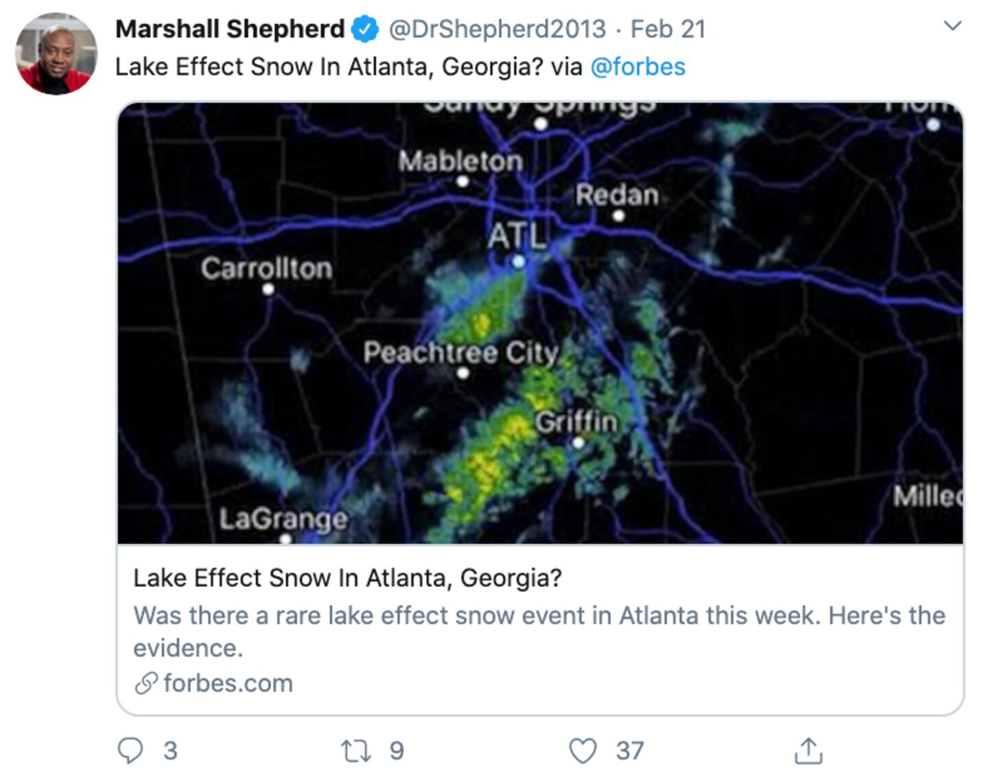
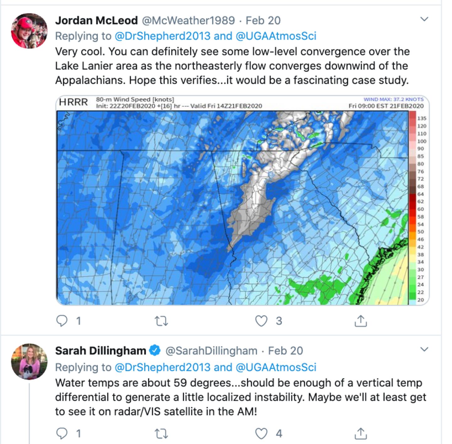
I am not the only one who noticed this.
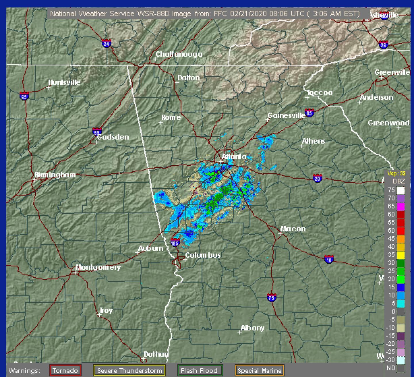
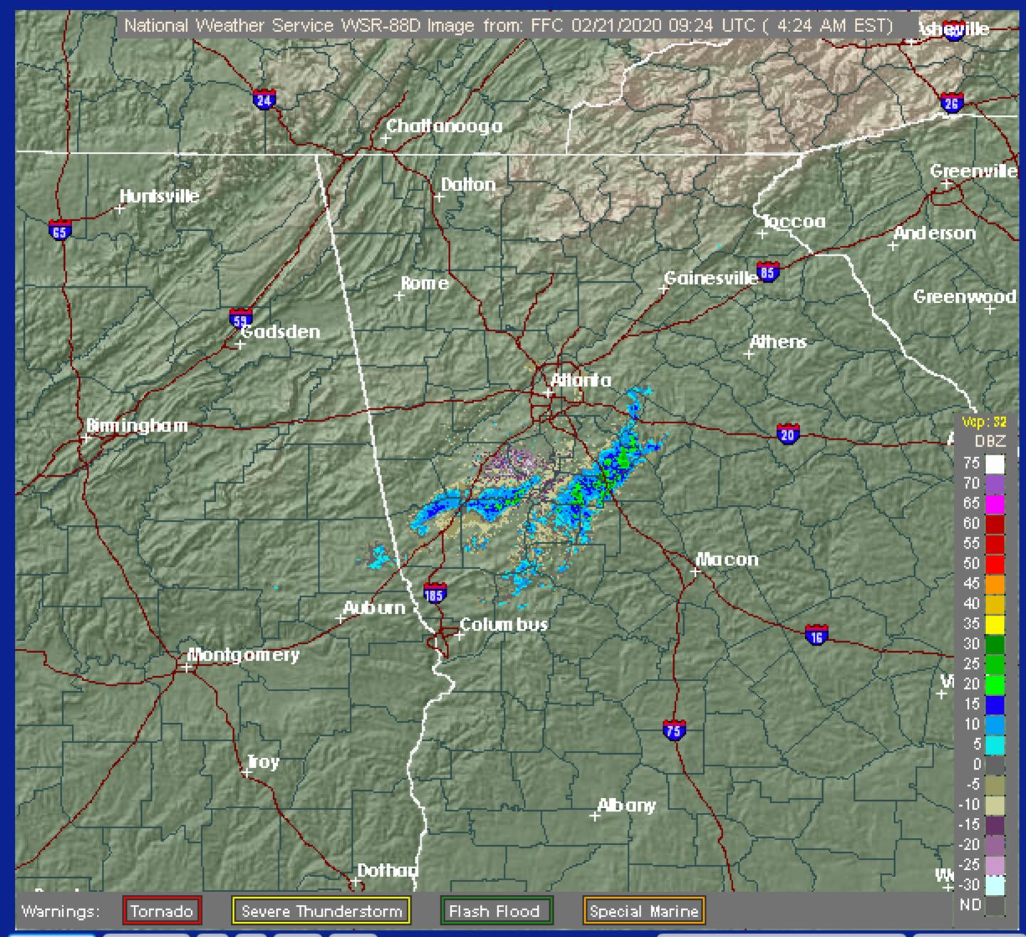
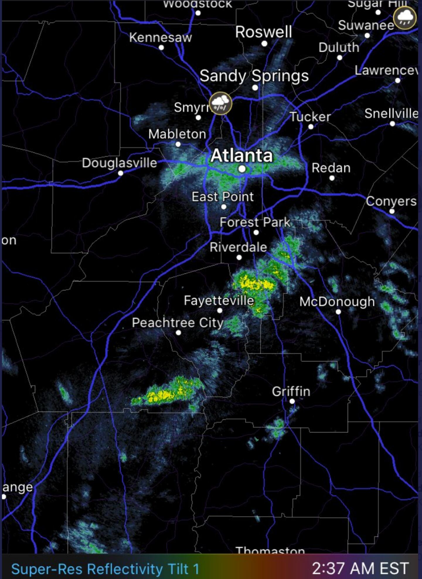
Radar and surface reports indicate that did happen in a few areas but as forecast with no impact.
But one of the fascinating scientific questions is whether-or-not all or some of that precipitation was generated because of Lake Lanier!?
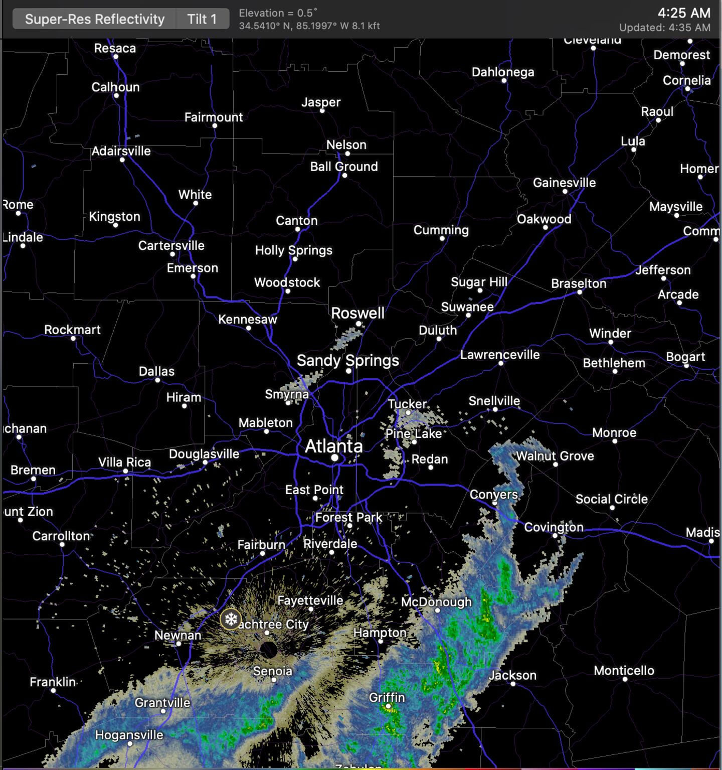
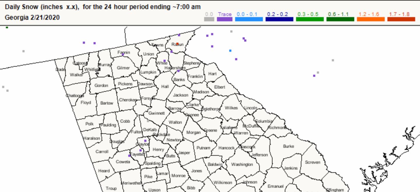
More on that after I let you see some of the radar snap shots and snow reports from early Friday morning below.
NOTE on some of the radars mPING weather observers were reporting a rain/snow mix or just snow near Peachtree City and between Sandy Springs and Smyrna (see the symbols on the radar).
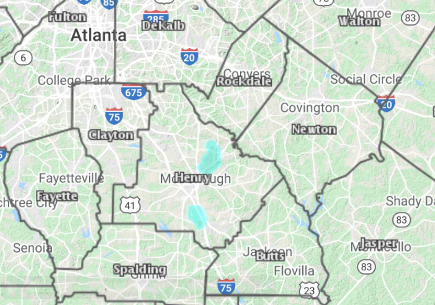
Also the radar precipitation type in Henry County. Plus trace amounts of snow reported by CoCoRaHS observers in Coweta, Fayette and Clayton counties.
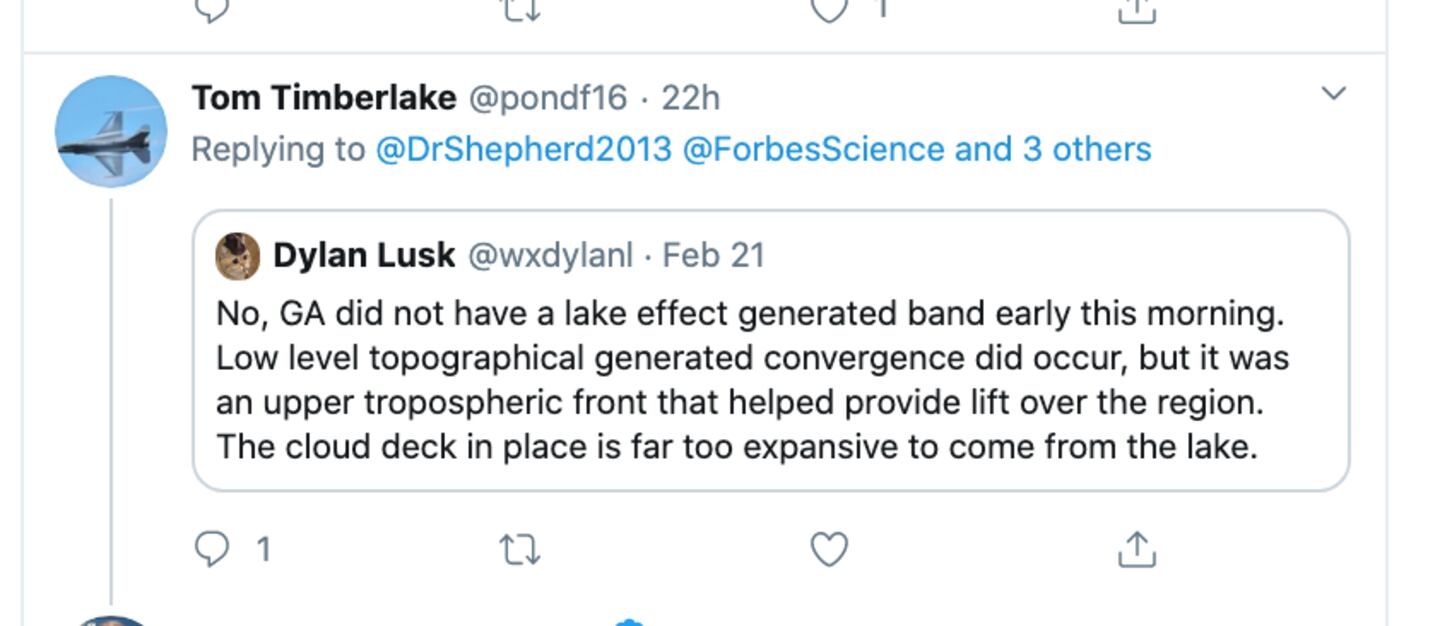
So clearly there was precipitation overnight as forecast and there was some snow as expected but not enough to cause problems which was my forecast. But it’s not 100% certain it was “Lake Lanier Effect rain/snow”. Why? Because there were other meteorological phenomenon in play on a larger scale we call synoptic. Synoptic as opposed to mesoscale or micro-scale weather systems. Like me this person took notice:
An old rule of thumb I learned in Chicago forecasting lake effect snow off Lake Michigan was that at least a 13 degree difference between water temp and air temp in the first mile of the atmosphere was required to generate lake induced snow clouds.
As these former meteorology students from the UGA Atmospheric Science Department noted to their former professor the temperature “Delta” was easily met. But there appears to be an “inverted” trough of low pressure with colocated low level convergence of wind streams (air from different directions meeting up). There were also synoptic scale mid and upper level influences at work over the region in addition to terrain impacts.
Yet we’ve had even colder air pass over Lanier without any distinct Lake Effect observed or indicated by the models so if “Lanier Effect” was real we should have seen it in the past.
But perhaps the resolution of the models has finally become fine enough to pick up on it?
So it’s an open question for now.
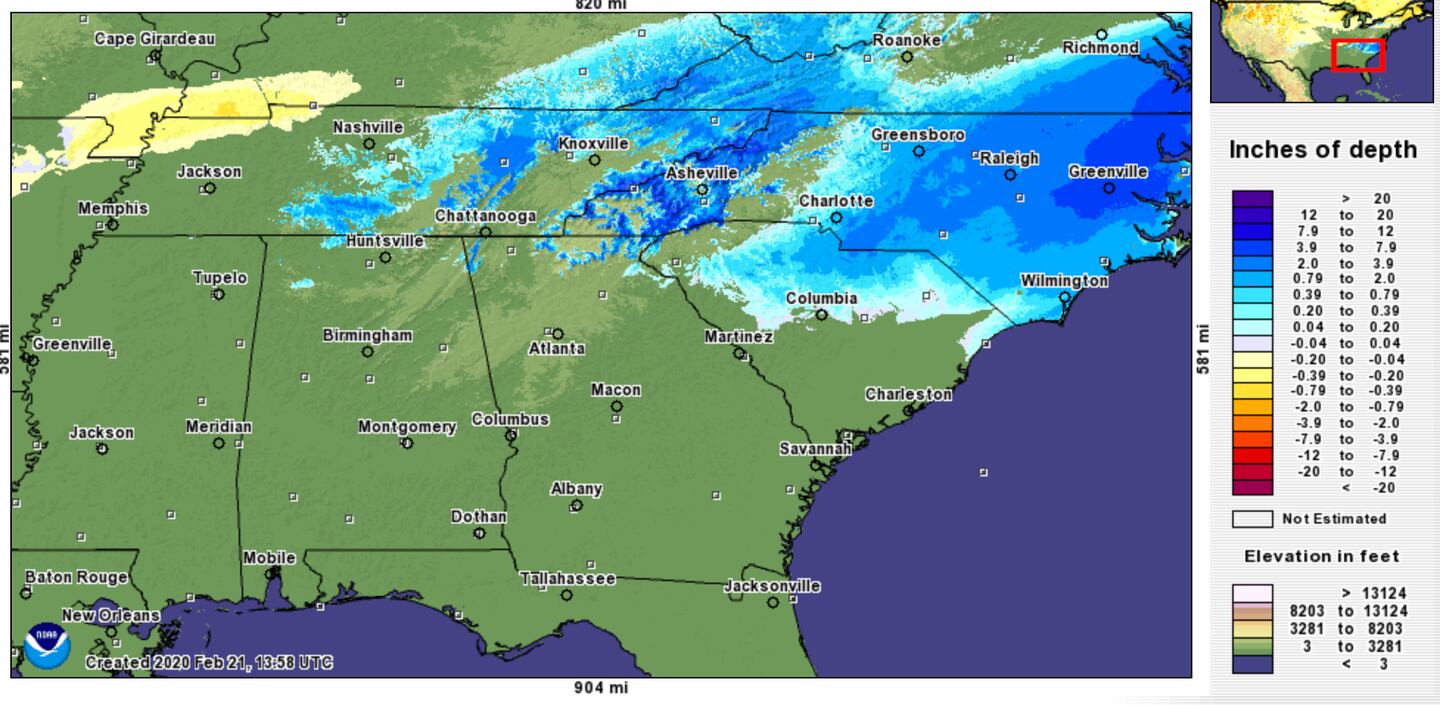
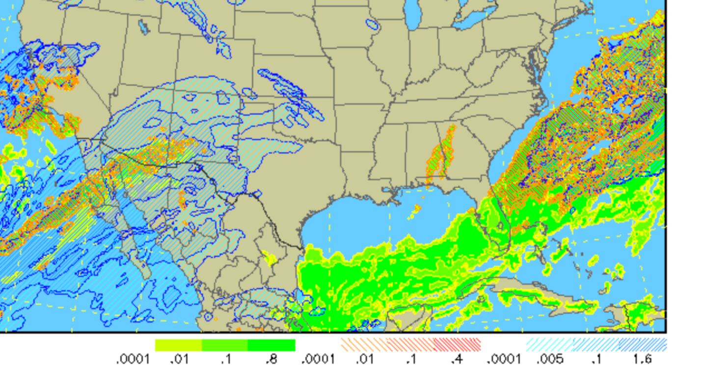
Therefore I think it fair to argue that it may have occurred even if Lake Lanier did not exist. After all, this is a common pattern here on the “backside” of exiting Miller A and B low pressure systems such as the one Thursday that brought 2 inches of snow in the Georgia Mountains and a lot more in SC and especially NC:
On the other hand I wonder if the rain swollen lake had higher heat content than normal and larger size which was enough to have at least some added influence on the broader “Synoptics”. Something us meteorologists from Chicago refer to as “Lake Enhancement” or Lake-enhanced snow. So it could have been other factors PLUS Lanier.
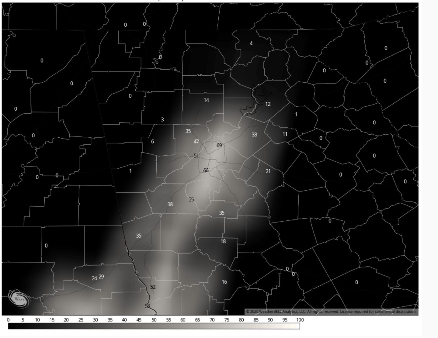
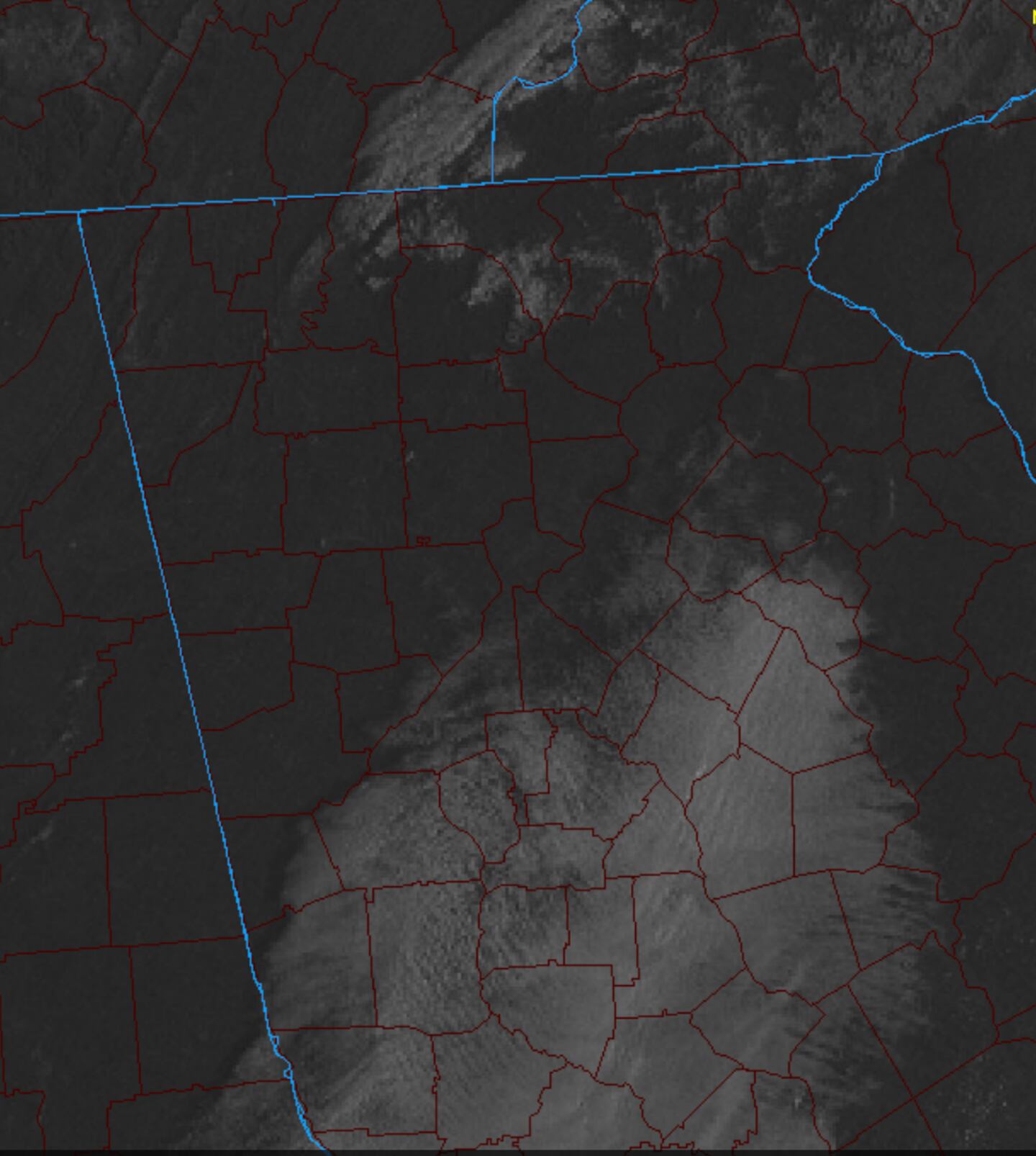
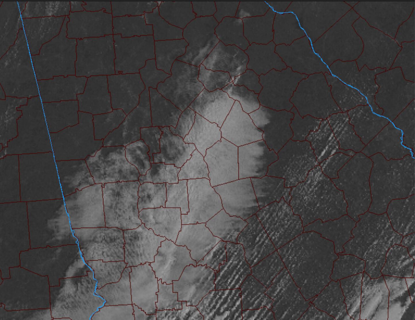
It is worth noting that some of the same Hi-Res models were indicating lingering clouds in the same general configuration through much of the day on Friday:
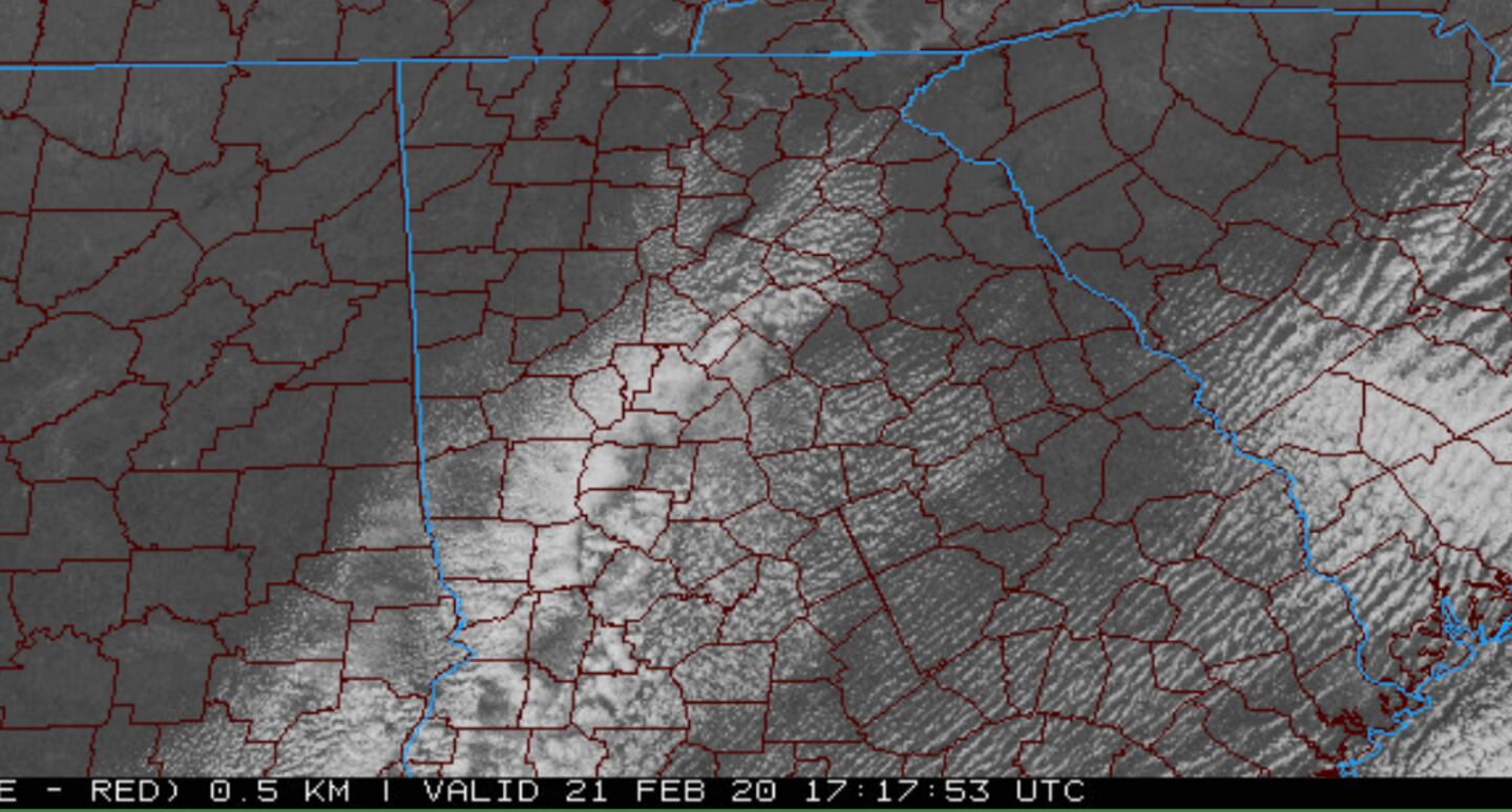
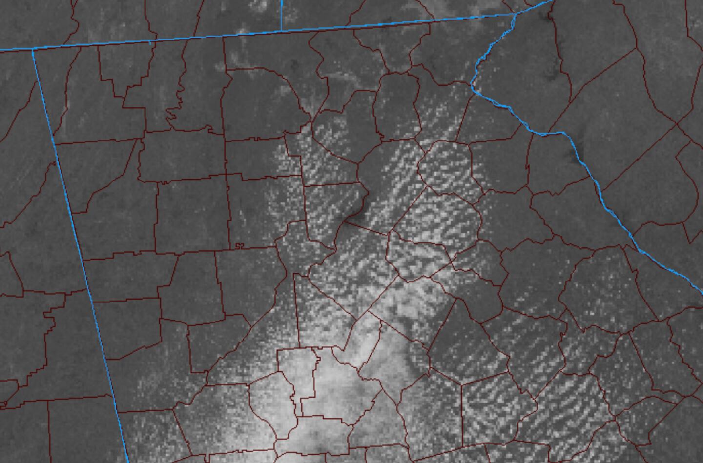
And they were right. Here are some actual satellite images during the day Friday with streaks of “fair-weather” cumulus and alto stratus clouds:
These daytime clouds match the modeled “lake effect” moisture field, but surely these clouds were not there just because of Lake Lanier the way the broad clouds were far a field from the Lake, another sign that more was going on in the atmosphere than Lanier imo.
By late afternoon the clouds were dissipating and it turned clear Friday evening.
Dr Sheppard and his meteorology students will do a deeper dive into the the three dimensional thermodynamics and physics to see if they can reach a definitive answer. I LOVE SCIENCE!
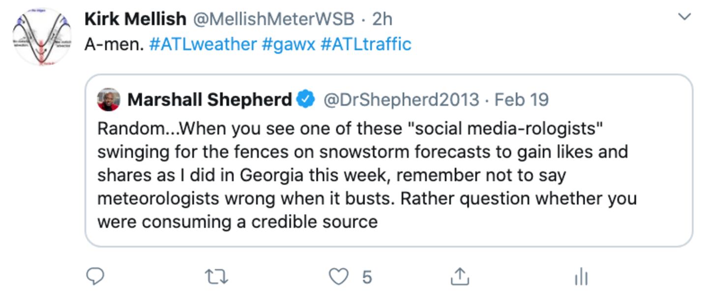
For over a week I was forced to beat back and slap away rumors when out in public and on Twitter about the big snow that was coming to Atlanta because people who don't know what they're doing share model snow maps. SMH. I say delete and unfollow those sources in your life. SMH.
For more follow me on Twitter @MellishMeterWSB.


