
After a very long spell of stagnant weather the normal seasonal shift to a more active pattern is taking place across the country and over the next 7 days it will start to include Georgia.
As expected the drought has worsened in the area over the past week:


It would take 12 to 15 inches of rain to eliminate the drought in much of the region. That won’t happen any time soon but there is some hope for rain in the not too distant future.
Saturday a cold front will move through the area and it could produce a few brief raindrops but don't count on it, it will bring chilly temperatures for Sunday morning:

Sunday the front stalls in the area producing some scattered light rain showers but not an all day rain, heaviest amounts North:

ESTIMATED RAINFALL SUNDAY WPC WeatherBell CHART:

MONDAY the front is close enough to give us some clouds and maybe a couple of showers in the area but no big deal:

Tuesday more fronts moving into and through the area along with upper-level disturbances (not shown) will bring more widespread rain lasting into the first part of Wednesday with heavier amounts:


ESTIMATED RAINFALL TUESDAY/WEDNESDAY:
The rain does not look like a drought buster but IF the forecast holds it will be the most in many months:

That Wednesday cold front passage will be followed by a Canadian High pressure air mass and a real taste of autumn temperatures Thursday:

Widespread low temperatures in the 40s Wednesday and Thursday with highs barely making 70 Thursday:

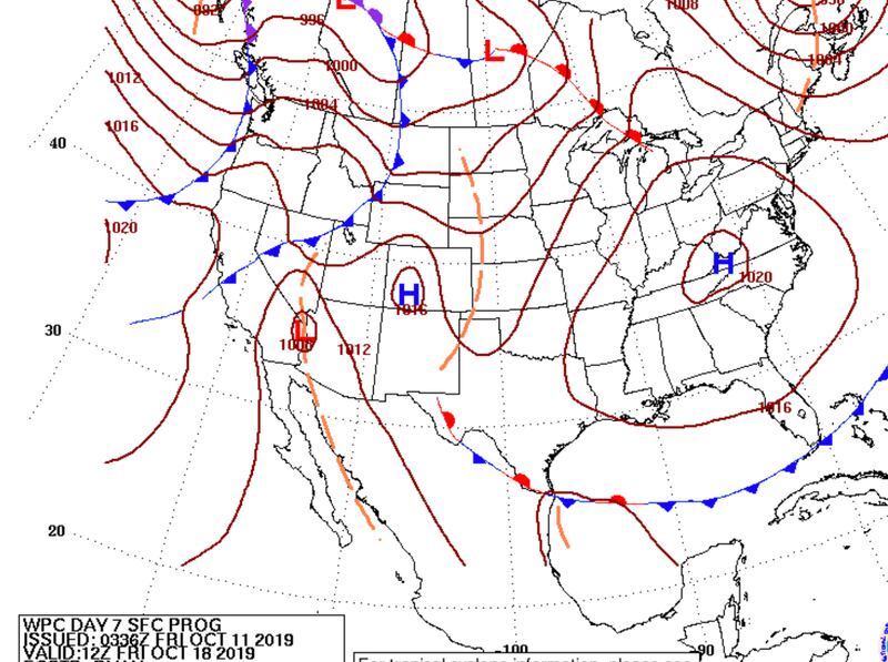
Friday October 18th:

For more follow me on Twitter @MellishMeterWSB.


