

The forecast surface chart for today is above, much of the country dry.
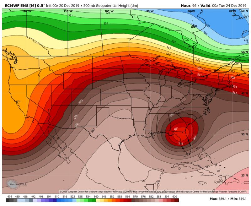
But big changes will occur in the Southeast over the weekend. Watch the upper-level low pressure system (500mb jet stream maps) forecast by the ECMWF Model to move from oiut of the Southern Rockies and NW Texas into our part of the world initiating surface low pressure in the Gulf of Mexico which heads East by Christmas replaced by a fair weather upper level high pressure ridge:



SURFACE WEATHER CHART SATURDAY MORNING:

SURFACE WEATHER CHART SUNDAY:

ESTIMATED RAIN AMOUNTS BY THE END OF THE DAY SATURDAY:
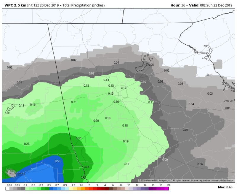
ESTIMATED RAIN AMOUNTS BY THE END OF SUNDAY:

ESTIMATED RAINFALL MONDAY 7A-2PM:

ESTIMATED RAINFALL TOTAL BY END OF DAY MONDAY (3-DAY TOTAL):