
The pattern has implications for the hurricane season and the coming fall and winter.
Relatively speaking we are having a fairly “normal” summer, although humidity has averaged higher than normal keeping days very uncomfortable with the combo of hot sun and heat index and keeping overnight lows elevated, all of which do no help the air conditioning bill despite the lack of long-lasting extreme heat.
Analog years from observed weather and ocean patterns combined with an array of global numerical equations (ensembles and climate models) suggest this pattern will continue the rest of this month probably into September.
The mean 500mb flow and heights pattern depicts the core of strongest high pressure ridges split between a strong one out West (Sonoran ridge) and a weaker version off the Southeast coast in the Atlantic (Bermuda ridge) with a weakness in-between the two:


This implies two important things regarding sensible weather for the rest of summer and start of fall. First, near-normal heat on average (not every day or every week) with rainfall from normal to above-normal scattered thunderstorms at times for the rest of summer.
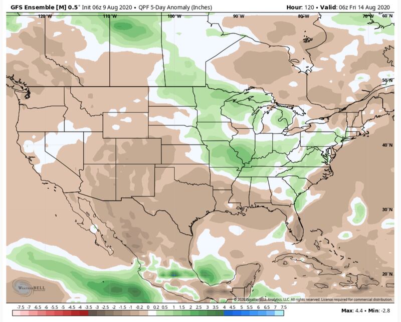
Second, the weakness may provide an avenue for a future tropical system or systems to impact TX/LA or elsewhere on the Gulf Coast with the East Coast at risk as well. The two high pressure ridges West and East block the path of any tropical system leaving an open avenue in-between if something forms during this pattern:

The truly brutal heat and dryness will be focused under and near the strong Western Ridge, only occasionally poking further North and East. But the last thing in sight is any cool weather with the broad mostly flat high pressure across much of the nation.
This also means the humidity will ebb and flow but average above-normal with elevated dew points mostly in the 70s.
That also fuels the occasional “gully washer” “frog-strangler” heavy downpour with lots of lightning and strong gusty winds with lots of dry areas and dry hours in-between on most days unless a front gets near. So that if one day or one week you get missed the next round will find you and miss someone else, rinse and repeat.
Meanwhile, the tropical cyclone fuel of warmer than normal sea-surface temperatures continue in the Atlantic with the “La Nina” signal (blue streak of cooler than average SSTs) in the Pacific:


Summer boredom have you thinking about winter? Well, La Nina often means a mild winter for much of the country, especially the type currently expected. The modeling, which I do NOT weigh heavily this far out, is blow-torch warm for Autumn and Winter in a lot of the country.
Here is the mean influence on winter jet stream storm track pattern of the Pacific SST anomalies:

Certainly not favorable for a lot of snow and cold except in the NW U.S. Again, this is the mean flow not every day or every week or every month.
For more Follow me on Twitter @MellishMeterWSB.
Cox Media Group


