You will want to be weather aware today.
On Monday, WSB Meteorologist Christina Edwards predicted that today’s system would start with heavy rain across much of north Georgia. Edwards says damaging wind gusts will have the most impact and tornadoes cannot be ruled out.
There is currently a Level 3 out of 5 risk for storms south of I-20. Most of metro Atlanta is under a Level 2 risk and the mountains under Level 1 risk.
Our meteorologists and Triple Team Traffic are monitoring the storm system and any potential backups on the roads, LIVE on 95.5 WSB.
Updates from throughout the morning:
9:19 a.m.
Storms and heavy rain will continue to move across the area over the next few hours. The severe weather risk will go up over the south side late morning/early afternoon.
8:30 a.m.
The tornado watch has been extended to the Georgia/Alabama line.
8:17 a.m.
Storms are currently moving into Bartow and Paulding counties ahead of schedule.
8 a.m.
Storms with heavy rain and lots of lightning are currently moving into west Georgia.
Here is what to know for Tuesday:
- First part of system is mainly heavy rain, began around 10 a.m.
- Risk for severe storms goes up around 1 p.m.
- The highest risk of a tornado this afternoon will be south of I-20.
- Risk for strong, long-tracked tornadoes is highest over middle and south Georgia into this afternoon and early evening.
- Large Level 3 severe weather risk covers most of north Georgia Wednesday.
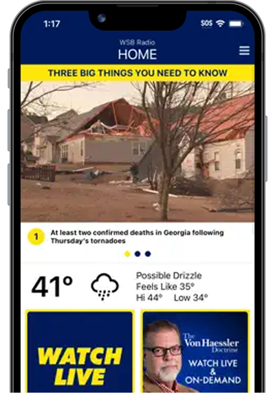
>>Download the WSB Radio App to stay up to date on the weather in your area.
©2022 Cox Media Group

:quality(70)/cloudfront-us-east-1.images.arcpublishing.com/cmg/PGLMAZ62CNEHFBOENB2UVBMHWY.png)
:quality(70)/cloudfront-us-east-1.images.arcpublishing.com/cmg/ISKGB36RWBEKZICLUFDH46S7UM.png)
:quality(70)/cloudfront-us-east-1.images.arcpublishing.com/cmg/4KSV6CKZKRBBVAFVUI3UY7SKBI.png)
:quality(70)/cloudfront-us-east-1.images.arcpublishing.com/cmg/3KNABFZLLRDDDER3HQK5TUZUWI.png)
:quality(70)/cloudfront-us-east-1.images.arcpublishing.com/cmg/RXJ2HALKAFGURKWH2ULCVD46NU.png)
:quality(70)/cloudfront-us-east-1.images.arcpublishing.com/cmg/4G5KZB6JFBAIJHU7YYSONGQAJQ.png)


:quality(70)/cloudfront-us-east-1.images.arcpublishing.com/cmg/66BTAV2N5VH5ZHHAT5DZQ34B2Y.jpg)
:quality(70)/cloudfront-us-east-1.images.arcpublishing.com/cmg/WPO435Q3BRAVROFENA45A5LCAM.jpg)
:quality(70)/cloudfront-us-east-1.images.arcpublishing.com/cmg/JNZSEZ6755GXRK6BG4MVPYQSKA.jpg)
