A weak front in the area today brings more clouds than rain despite a few hit and miss showers.
The same story for Saturday which looks more dry than wet despite a chance of an isolated shower or thundershower mainly the first half of the day.
Then a strong weather system moves through the area Sunday bringing a chance of heavy rain and a risk of thunderstorms with damaging winds, hail and lightning. An isolated tornado can not be ruled out, however at least as of this writing the risk looks higher in adjacent states.
Even though it main not rain constantly Sunday the probability of showers and storms is high.
Make sure you understand the difference between a WATCH (be on alert, be prepared) and a WARNING (take cover now).
Check back for updates on the changing weekend weather, listen for my updates on WSB radio including across all digital platforms.
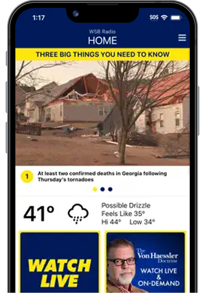
[DOWNLOAD the WSB Radio App and turn on your severe weather alerts.]
ESTIMATED RAINFALL FRIDAY:
ESTIMATED RAIN SATURDAY:
ESTIMATED RAINFALL SUNDAY:
ESTIMATED 3-DAY RAINFALL TOTALS ENDING BY MONDAY MORNING:
SEVERE WEATHER RISK SUNDAY (3/5):
[DOWNLOAD the WSB Radio App and turn on your severe weather alerts.]
SPC DISCUSSION:
THE MASTERS IN AUGUSTA:
TODAY-SATURDAY
SUNDAY:
Follow me on Twitter for more @MellishMeterWSB.

:quality(70)/cloudfront-us-east-1.images.arcpublishing.com/cmg/F55VYCB66CWWWGQMIL7N7XKY5I.png)
:quality(70)/cloudfront-us-east-1.images.arcpublishing.com/cmg/QXVCIPMCOZNOAUATLU554IWZZI.png)
:quality(70)/cloudfront-us-east-1.images.arcpublishing.com/cmg/ZB4VBIJMJHLLVMIFYIXU5J4SOI.png)
:quality(70)/cloudfront-us-east-1.images.arcpublishing.com/cmg/ZOLSG74VS7MZPVGUIBK6TD4VAE.png)
:quality(70)/cloudfront-us-east-1.images.arcpublishing.com/cmg/ED2PFXW3LXWC6A2QLUNASHVJWY.png)
:quality(70)/cloudfront-us-east-1.images.arcpublishing.com/cmg/EFU66LBKI5NCWJBRB7XI2YOYZ4.png)
:quality(70)/cloudfront-us-east-1.images.arcpublishing.com/cmg/JN45OOPVJBBSZKWDZCDHRSPAOU.jpg)
:quality(70)/cloudfront-us-east-1.images.arcpublishing.com/cmg/TLFOF7E5LF2O5TZZYJ24ODVBCY.png)
:quality(70)/cloudfront-us-east-1.images.arcpublishing.com/cmg/5JYGCBIN6E3IUQ5HEP7JVUJORA.png)
:quality(70)/cloudfront-us-east-1.images.arcpublishing.com/cmg/DNBGVSUPFXJ2PIYT4DMP5FIUFA.png)


:quality(70)/cloudfront-us-east-1.images.arcpublishing.com/cmg/3L4F3N7PEJD3HA4HMURQPKHCLE.jpg)
:quality(70)/cloudfront-us-east-1.images.arcpublishing.com/cmg/Y6EQE4COYVAGNDWZNO3N23FMWQ.jpg)
:quality(70)/cloudfront-us-east-1.images.arcpublishing.com/cmg/IC2ZNVHSJFF65JHEFK7NDXRYKQ.jpg)
