A news maker type system is taking shape for much of the country East of the Rockies to the Atlantic Coast Friday through Sunday with a blizzard and ice storm in the cold sector and flooding and tornadoes in the warm sector of the low pressure system.
A classic deepening mid-latitude cyclone and frontal system Texas-OK Pan Handle hooker type storm track. Spring-like temperatures will clash with winter temperatures trying to advance for a very March type cyclone (low pressure system).
While the heat and moisture factors for severe weather are limited by this being January, this will be compensated for by suffice CAPE values/surface dew points and strong kinematics, dynamics and sufficient thermodynamics with a strong low-level jet and mid and upper level jet stream for diffluent flow, divergence aloft for large-scale assent with strong warm and cold air advection and venting of the upper atmosphere, wind shear will provide ample helicity for tornadoes and a squall line with cyclonic vorticity at mid-levels.
Thankfully for us in Georgia the system looks like it will be weakening some as it arrives here compared to states to our West.
But soils here are sorta soggy already from recent rains and there will be gusty winds even without a severe thunderstorm just from synoptic scale pressure gradient winds and from downward momentum flux from any downpours, so isolated power outages or traffic light problems and tree branch falls will be possible even outside of any strong storm.
Trees can fall and home damage possible in a few areas if we get any severe thunderstorms.
RGEM MODEL SATURDAY 7AM (Pivotal weather chart):
3-KM NAM MODEL SATURDAY 7PM:
ESTIMATED RAINFALL BETWEEN NOW AND 7AM SUNDAY:
MORE HEAVY RAIN NEXT WEEK AFTER A LULL SUNDAY:
MULTI-MODEL ENSEMBLE TEMPERATURE OUTPUT (10-25 degrees above normal):
3-KM NAM MODEL FORECAST ATMOSPHERIC SOUNDING THERMODYNAMIC DIAGRAM 7PM SATURDAY (Pivotal Weather):
SPC SEVERE WEATHER OUTLOOK FOR SATURDAY:
It is highly likely there will be Tornado Watches issued from Oklahoma/Arkansas and Texas East through Alabama to the Florida Pan Handle, but it can't be ruled out that one will be issued for a part of Georgia late Saturday or Saturday evening. For Metro Atlanta the main risk of a damaging thunderstorm looks to be 3pm to 10pm, subject to updates of course. Threat Level currently 2 on a scale of 1-5.
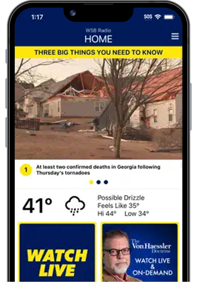
I’ll be working this weekend so stay tuned for updates on 95.5 WSB and download the WSB Radio APP.
For more follow me on Twitter @MellishMeterWSB.

:quality(70)/cloudfront-us-east-1.images.arcpublishing.com/cmg/RPCKCWBGOQVINKE3BKSTBRC5KY.png)
:quality(70)/cloudfront-us-east-1.images.arcpublishing.com/cmg/HE7KBLBFOSON3U2LFGX5WL4JO4.png)
:quality(70)/cloudfront-us-east-1.images.arcpublishing.com/cmg/6AAT543ZCFY5INPRMRZ2BIYCRU.png)
:quality(70)/cloudfront-us-east-1.images.arcpublishing.com/cmg/GSC5Y4AM3LNMSWS6UZM5Q3QQWU.png)
:quality(70)/cloudfront-us-east-1.images.arcpublishing.com/cmg/YHWZTE3EOJBP5QBFAGIYJPFKS4.png)
:quality(70)/cloudfront-us-east-1.images.arcpublishing.com/cmg/EZ5UHTL3PHDB633GYEAFFGBDY4.png)
:quality(70)/cloudfront-us-east-1.images.arcpublishing.com/cmg/C4J2UJRY557FLU6GMA4K2HPI4Y.png)
:quality(70)/cloudfront-us-east-1.images.arcpublishing.com/cmg/6TVHRINFZ3MA3CIFZ3SWROG5NE.png)


:quality(70)/cloudfront-us-east-1.images.arcpublishing.com/cmg/GSTIVMX2G5CMNNZP3HGHJ5Y7EU.jpg)
:quality(70)/cloudfront-us-east-1.images.arcpublishing.com/cmg/B37R2VTNWVD57NTYCB5ODGDOUQ.jpg)
:quality(70)/cloudfront-us-east-1.images.arcpublishing.com/cmg/6OWE36MGAZGVDELGH4WVZYORIM.jpg)
